Aerial Photos of Daniel Korns, Jr. Farm, Somerset County, Pennsylvania

The following April 27, 1993 USGS aerial photos show the Somerset County, Pennsylvania family farm that was once owned by Christian Sturtz, then by John Sturtz, then by Daniel Korns, Jr., then by John Wilson Korns, then jointly by brothers John Harvey Korns and Allen Lester Korns, then by Allen Lester Korns, then by Melvin Lester Korns, and now (2025) by one of Melvin's children. Click here to trace the ownership of the farm back to 1767. The photos are oriented so that north is at the top of the page.

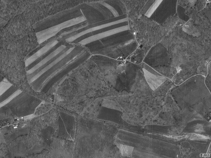
The scale of the first picture is 1 pixel = 1 meter; I.E. 1.1 yards. The dairy barn is located at approximately latitude 39N 45' 41" longitude 78W 49' 37". The schoolhouse was at the lower right hand corner of the triangular field south of the house.
Aerial photo of the Somerset County PA family farm of Daniel Korns, Jr. (scale: 1 pixel = 1 meter; 1.1 yard).

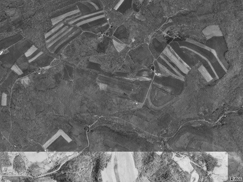
in the following USGA picture, the scale is 1 pixel = 2 meters; I.E. 2.2 yards. The farm buildings are slightly above and to the right of the center of the photo.
Aerial photo of the Somerset County PA family farm of Daniel Korns, Jr. (scale: 1 pixel = 2 meters).
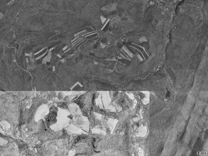
in the following USGA picture, the scale is 1 pixel = 4 meters; i.e. 4.4 yards. The buildings are slightly to the left of the centerline of the photo, about one-fifth of the way down.

Aerial photo of the Somerset County PA family farm of Daniel Korns, Jr. (scale: 1 pixel = 4 meters).

in the following USGA picture, the scale is 1 pixel = 1 meter; I.E. 1.1 yards.The Daniel Korns, Jr. farm is roughly on the centerline of the photo about one fourth of the way down from the top. The Michael Korns, Sr. farm lies along the upper edge of the light patch, about one fourth of the way from the right-hand edge the light patch.
Aerial photo of the Somerset County PA family farm of Daniel Korns, Jr. (scale: 1 pixel = 8 meters).

Go to the Korns family genealogy home page

Promo image