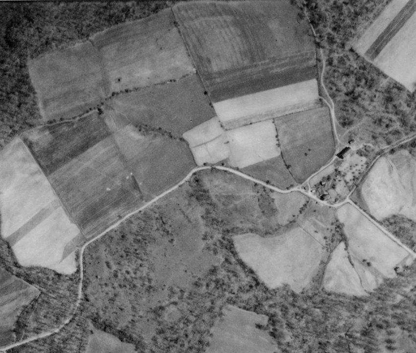
Seeing the route change in progress at the age of three or four years old left a lasting impression on me, because it erased my assumption that public roads were permanent, fixed in place things. That experience, and several other childhood road-related experiences mentioned in the book, helped to kindle my interest in old abandoned wagon roads.
A good bit of hillside digging was required to implement the new route; I can remember seeing the freshly-cut bank along the new section of the road as we drove past my grandfather. I believe the old section of route would have required far less hillside digging, compared to the then-new section.
L. Dietle
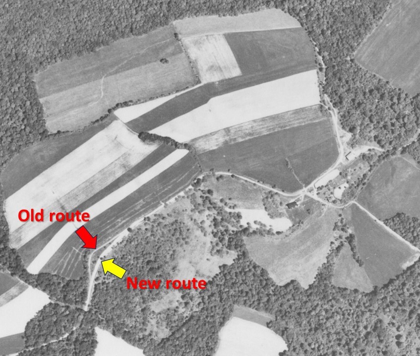
The following aerial photo, which was taken on May 4, 1939, shows the route before being straightened and leveled. I suspect that the location of the old route has been bulldozed to enlarge the field above the road, because the old route is no longer visible and the bank along the new section of road doesn't seem as substantial as it once was. The old route was still plainly visible when I was young, and was being used to enter the field above the road.