
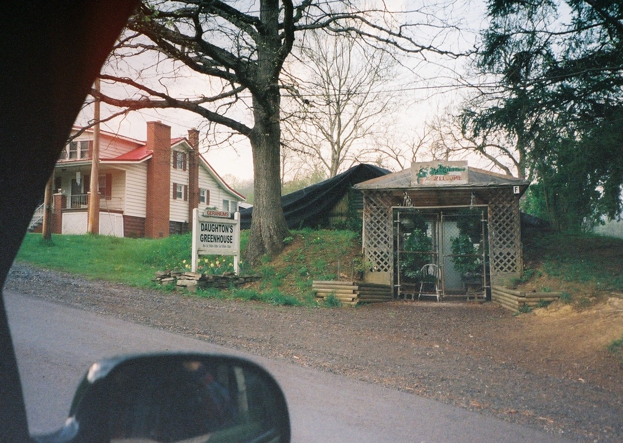
The scan of the first old photo below was provided by Mike McKenzie. In the present day (2009), Daughton's greenhouse is built on the remains of the rectangular concrete reservoir that is shown in the foreground of the photo. This reservoir was located close to the Witt Hill Road, just to the west of the Uhl mill. A different copy of the same photo is shown on page 5 of Roger & Mona Huffman's 2005 book "A Look at Southampton Township Pennsylvania the Way it Used to Be!", along with the caption "Located where Daughton's Greenhouse is today, this used to be an oil pumping station.".
Mike interviewed Richard Witt of Wellersburg in August 2009. Richard is the son of "Mutt" Witt, who had the brick gas station in Wellersburg. Richard indicated that the pumping station was indeed for pumping oil. He said that the building at the left of the photo was the boiler house and the one on the right was the pump house, and that there were steam pipes that went from the boiler over to the pump house. Richard also indicated that the office for the oil company was moved out along mineral street. Mike followed up on this lead and found that it is still there. Richard said that the buildings in the photo were related to the "Pure Oil Company". Richard showed Mike two large fire bricks that were from the pumping station area, and they had "Pure Oil Co" molded into them. The bricks are very large, estimated at least three feet by two feet and about six inches thick. Mike did some quick internet research on the "Pure Oil Company", and what he has found so far indicates that the company was started in the mid-1800s in PA, and drilled numerous wells all over south-eastern Ohio and West Virginia.
In further analysis of the photo, Mike notes that the building on the right may have a vent built into the roof, possibly to let the steam escape. Mike also notes that two large round oil tanks appear in the background of the photo. (The footprints of these tanks appear in the 1939 aerial photo below.) We surmise that the rectangular cement reservoir was to provide water for the boiler that powered the pump. Mike found another website that has a copy of the same photo, and that website indicates that it is a 1916 photo.

The next image, which was also located by Mike McKenzie, is a 1939 USDA aerial photo that shows the location of the cement reservoir relative to the old railroad bed and the grist mill. It also appears to show the footprint of the round oil storage tanks, and the associated containment dikes (note the two circle within a circle areas).

The photo below, taken for Korns.org by Mike McKenzie, shows a building that is presently (2009) sitting along West Mineral Street. When interviewed in 2009, Richard Witt told Mike that the building had been moved there, and before that was the office for the pumping station. The building presently sits across the road from some abandoned coal mine shafts, which leads us to believe that it was used by the mines for some purpose, such as an office or storage building. This building is well-built, yet it has no foundation and is just sitting on some rocks and wood. This supports Richard's information that it was just placed there after being used somewhere else. The inside of the building is all tongue and groove boards, and even the ceiling and the windows and door were nicely trimmed out. It is definitely not just some crudely built shanty.

What was the pumping station for?
Mike and I don't really know what the Wellersburg pumping station was used for. It might have been a shipping point for outgoing crude, but we haven't confirmed any producing oil wells in the area. It might have been a receiving point for incoming fuel, but why Wellersburg--and why, if it was for fuel, wouldn't they have used a fuel-powered piston engine to drive the pump?
One possible theory is that it was used for a nearby gas pipeline that is located along the Mason-Dixon line (a right away seems to be present on the 1939 aerial maps of PA). In 2009, Mike talked to a coworker who worked on that pipeline when a new line was installed in the 1980's. He told Mike that they replaced an earlier gas line that was put down in 1958. He also indicated that in some areas they had taken up an older natural gas pipeline that was supposedly put down in 1902. The co-worker reported that the old line was threaded pipe. Threaded, rather than welded pipe, was used for natural gas lines up until circa 1920, when oxy-acetylene welding was invented. The co-worker also said that there was a lot of oil in natural gas, and speculated that the tanks were possibly present to collect the "drip", as the coworker called it. It might be that rail cars were used to transport the oil that was collected in this manner.
Click here to see a photo of an internally-threaded pipe collar/union that is about 6 inches in diameter that Mike McKenzie found in 2009 near a 1902-marked Mason-Dixon mile marker. Mike saw what appeared to be an old right of way along the edge of a field. He found the collar down over the side of the old right of way, using a metal detector. As can be seen in the photo, the collar had been buried in coal shale. It may be that the shale was dug up when the pipe was laid, because the coal is shallow in that area. This collar matches the eyewitness report of the type of pipe that was removed in the early 1980's when the latest pipeline was installed. As noted above, Mike McKenzie was told that the old pipeline was installed in 1902, and this may be the reason that the Mason-Dixon line marker matches this date. Now we know that the old pipe line right of way was right along the state line.
Mike has heard that pumping stations were needed to get product over the mountains, and notes that there was another pumping station in Ellerslie, which was also located along a railroad (The B&O). I questioned why The Wellersburg pumping station would be that far away from the pipeline right-of-way along the Mason Dixon line. Mike reasons that for the area, where it is located would have been the best location, due to terrain. He wrote "...the area south and west of it is hilly and very little level land east of it..." Some "flies in the ointment" regarding this theory are that we haven't found information that Pure Oil was involved in any gas pipelines back then, and the scant information that we have found on the Ellerslie pumping station (from 1907) indicates that it was owned by a vociferous competitor, Standard Oil. Page 657 of the 1906 Somerset County history book states: "In 1890 the Standard Oil Company laid a pipe line through the township. It may be said that this pipe line passes through the entire tier of southern townships, on its way to the seaboard. It skirts Mason and Dixon's line, keeping a uniform distance of about two rods to the north. A second line was laid in 1904."
These issues we will hopefully sort through and solve in the fullness of time. Meanwhile, we are publishing our thoughts in case anyone can shed any light on the subject of what the Wellersburg pumping station was for. Click here to see an aerial photo that in all probability shows what was left of the Ellerslie pumping station in 1939, including sites where oil storage tanks appear to have been placed near the railroad tracks.
L. Dietle, September 2009

Go to the Korns family genealogy home page
