
The photo above shows the Wellersburg inclined plane in action, circa 1920. The image is from the February 5, 1921 issue of the "Black Diamond", and was provided to Korns.org by Mike McKenzie.
The fragment of a 1939 USDA photo, below, shows where the inclined plane / tram road was located on the north side of Wellersburg. The site can still be seen as a gash in the mountain today, as one drives up Route 160. One local resident, Mike McKenzie (who found this photo for Korns.org) says that he has always heard it called the "tram road". My Uncle Melvin, who lives on a farm nearby and was born in the 1920's, calls it the "inclined plane". Note the coal tipple that is located at the bottom (left hand end) of the inclined plane / tram road (a closeup photo of the tipple is included below the first picture). In 2009 Melvin told me that the weight of the full cars coming down hauled the empty cars up the inclined plane.
As far as I have been able to determine, the Wellersburg inclined plane was first proposed on page 23 of the 1841 report of Walter Rogers Johnson that was titled "Report of a survey and exploration of the coal and ore lands belonging to the Allegheny Coal Company: in Somerset County, Pennsylvania; accompanied by maps, profiles and sections". Click here to see a 3765KB PDF copy of the 1841 report (For ease of viewing, you may want to download the report to your computer. It may take awhile to download). In Walter Rodgers' report, it was called an "inclined plane". For a modern aerial view of the location where the inclined plane crosses the main highway, click here.
When Mike McKenzie interviewed Mr. J. Witt in 2009, Mr. Witt indicated that the wheel from the wheel house that sat atop the inclined plane at Route 160 was taken away by a Troutman individual, and the son of that Troutman has it now in Franklin, West Virginia.
When I discussed the inclined plane with my uncle M. Korns again in 2009, he told me that the weight of the loaded cars coming down was used to haul the empty cars up the inclined plane. Mike McKenzie reports that his aunt Ester was married to Frank Bucy (second marraige). Frank worked in some mines close to and at the tipple. Ester told Mike that Frank had mentioned to her that they used to wait for the cable, to jerk and that way they knew the loaded cars were coming down, then they would jump in the empty cars and ride them up, and she said he had mentioned a "wheel house" at the top of the incline.
L. Dietle


The photo below is reproduced from volume one of the 2005 book "A Look At Southampton Township Pennsylvania The Way It Used To Be!", with permission of the author. It shows the coal tipple at the bottom of the Wellersburg tram road / inclined plane. The date of the photo is unknown.

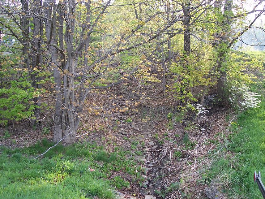
The following 2010 photo shows the site of the former coal mining-related inclined plane near Wellersburg, Pennsylvania. The photo was was taken from Latitude 39.737521, Longitude -78.853895 along Route 160, looking east.
Return to the Korns family genealogy home page
