
The following USGS imagery was taken on March 4, 1991. The photos are oriented so that north is at the top of the page. On page 30 of the 1949 book "The Genealogy of Michael Korns, Sr. of Somerset County Pennsylvania", the farm is described as the "Original Farm Home of Michael Korns, Sr."
In the first picture below, the scale is one pixel = 1 meter. The barn is slighty below center of photo, about two thirds over from the left; note the stripes on the roof of the attached shed. The coordinates for the barn are approximately latitude 39N 44' 33" x longitude 78W 49' 24".
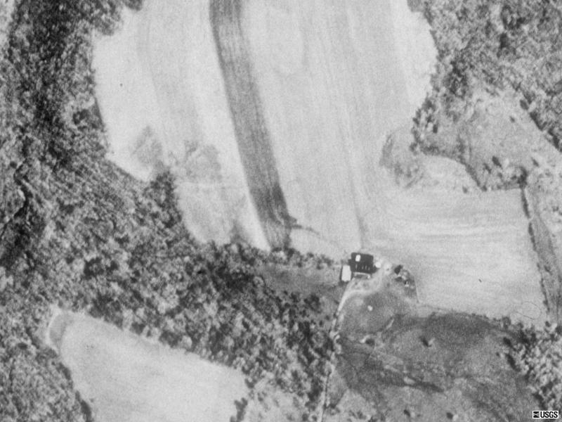
The scale of the following photo is 1 pixel = 2.0 meters; i.e. 2.2 yards. The stone barn is just to the right of center.
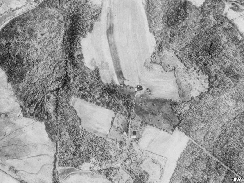
The scale of the following picture is 1 pixel = 4 meters. The stone barn is slightly above the center of the page. The Cook cemetery is slightly below the centerline of the page, about one-sixth of the way over from the left, just south of a triangular patch of woods.

The scale of the following picture is 1 pixel = 8 meters. The barn can be seen slightly above the center of the picture. The Cook cemetery is slightly below the centerline of the page, about one-third of the way over from the left, just below a triangular patch of woods, and the village of Wellersburg is southwest of the cemetery. Note the line of mountains along the right-hand edge of the page.

The scale of the following pictue is 1 pixel = 16 meters; i.e about 17.6 yards. The Blubaugh Place is located along the top edge of the lighter square region, about one-fourth of the way from the right edge of the lighter square. Note the lines of mountains near the left and right edges of the photo that tend to isolate the region in-between.

Return to the Michael Korns, Sr. Farm Photo Index
Return to the Korns family home page
