
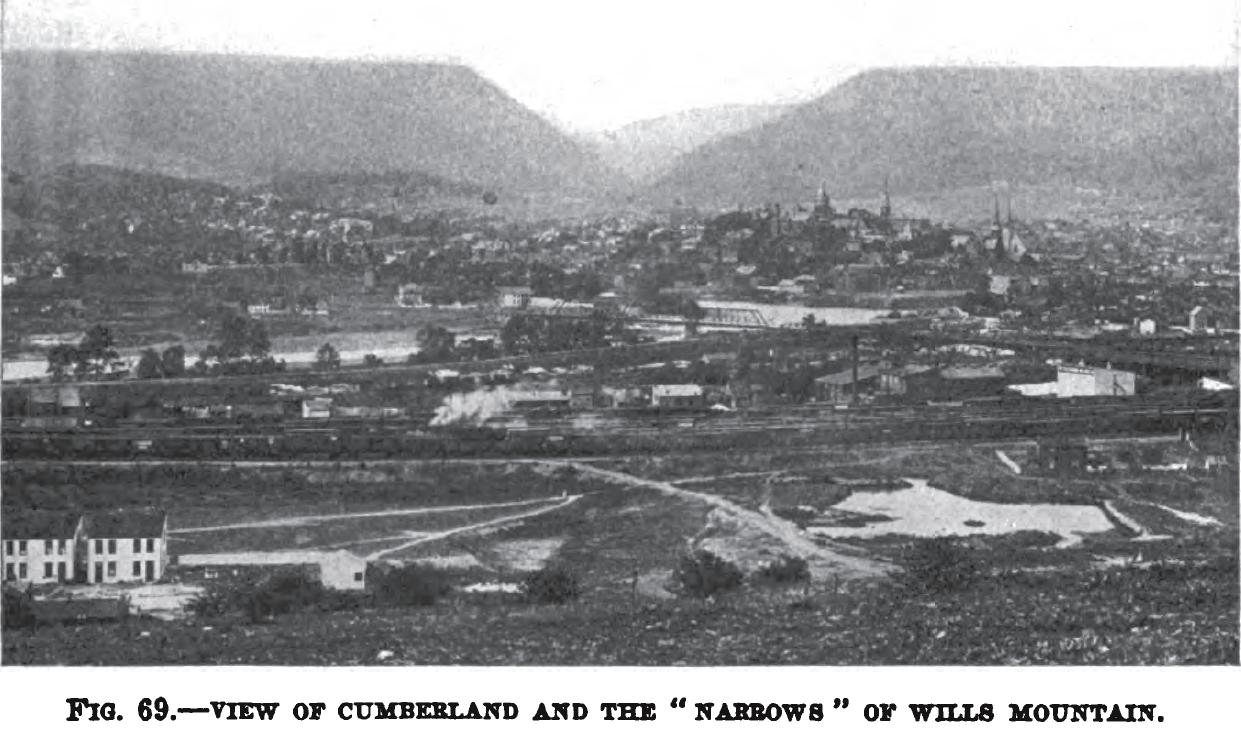
The photo below, which is from volume ten of the 1918 book "Maryland Geological Survey", shows an overview of Cumberland, Maryland. The vee-shaped opening in the mountain in the distance is known as "the Narrows". One glance at this photo should instantly inform anyone as to why the Narrows is the most logical route for a road heading northward from Cumberland toward Corriganville.
++++++++++++++++++++++++++++++++++++++++++++++++++++++++++++++++++++++++++++++++++++++++++

Return to the Korns family genealogy home page
